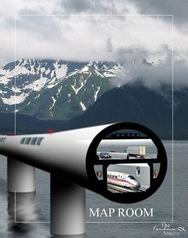
MAP ROOM
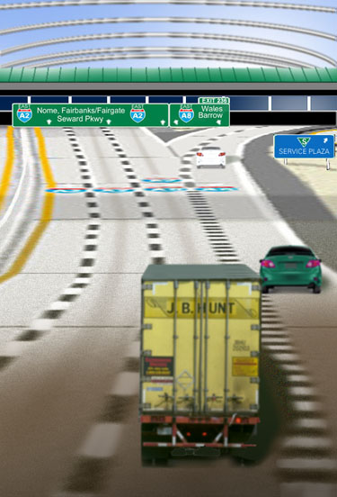
Entering Mainland America Eastbound on A2.
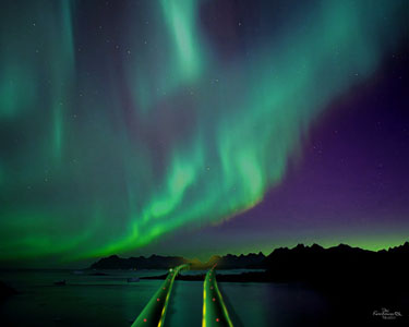
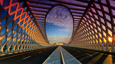
The Bering Strait Bridge under the Northern Lights.
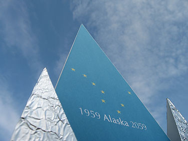
The Alaska Pavilion at the 2059/2060 Centennial Exposition in Fairgate. Fairgate is the new Capital City that was constructed near Fairbanks.
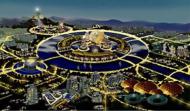
The 2059/2060 Alaska Centennial Exposition.
The Interstate A4 Crossing at St. Lawrence Island.
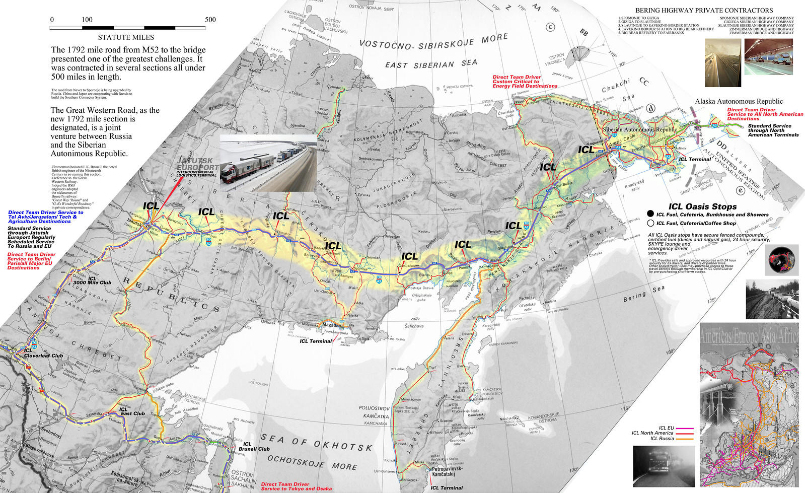
ICL Map of Siberia [click to view larger].
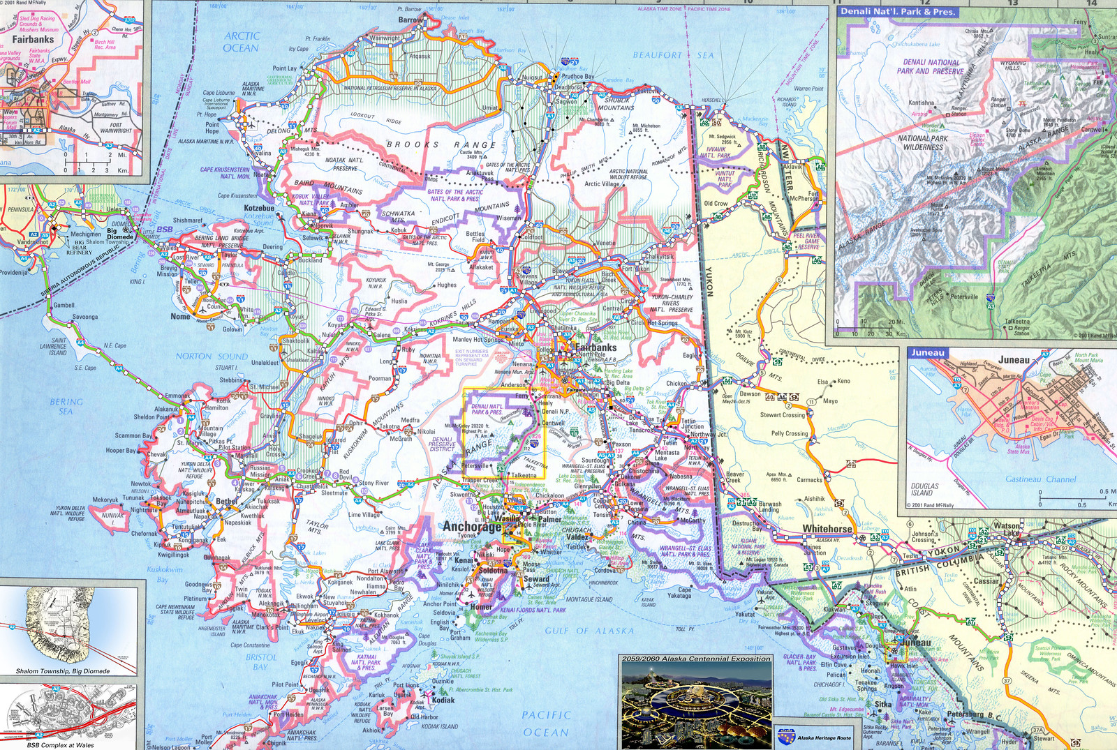
Alaska 2060 [click to view].
Bering Strait Bridge Complex at Wales. Enlarge [click to view full size]

Tundra Farms in 2060. Enlarge [click to view full size]
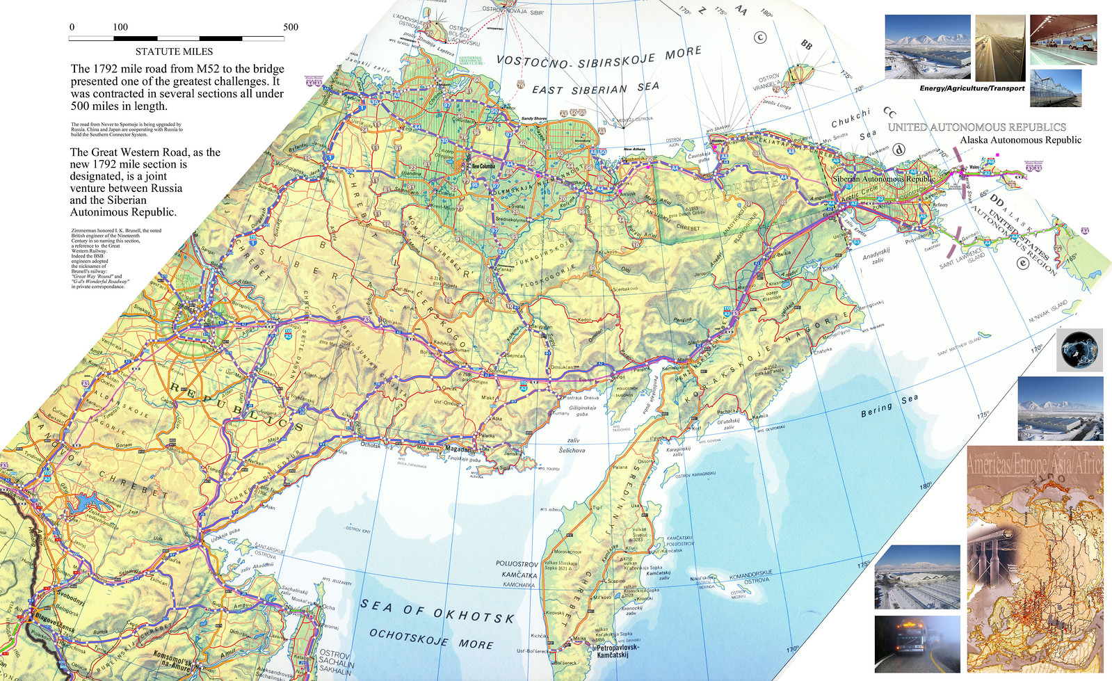
Siberia in 2060. Enlarge [click to view full size]
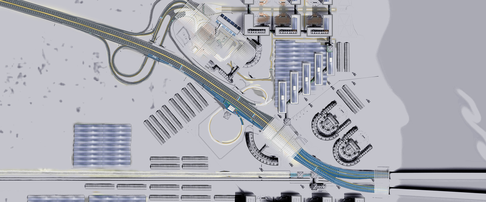
Siberian Terminus of the BSB in 2060. Enlarge [click to view full size]

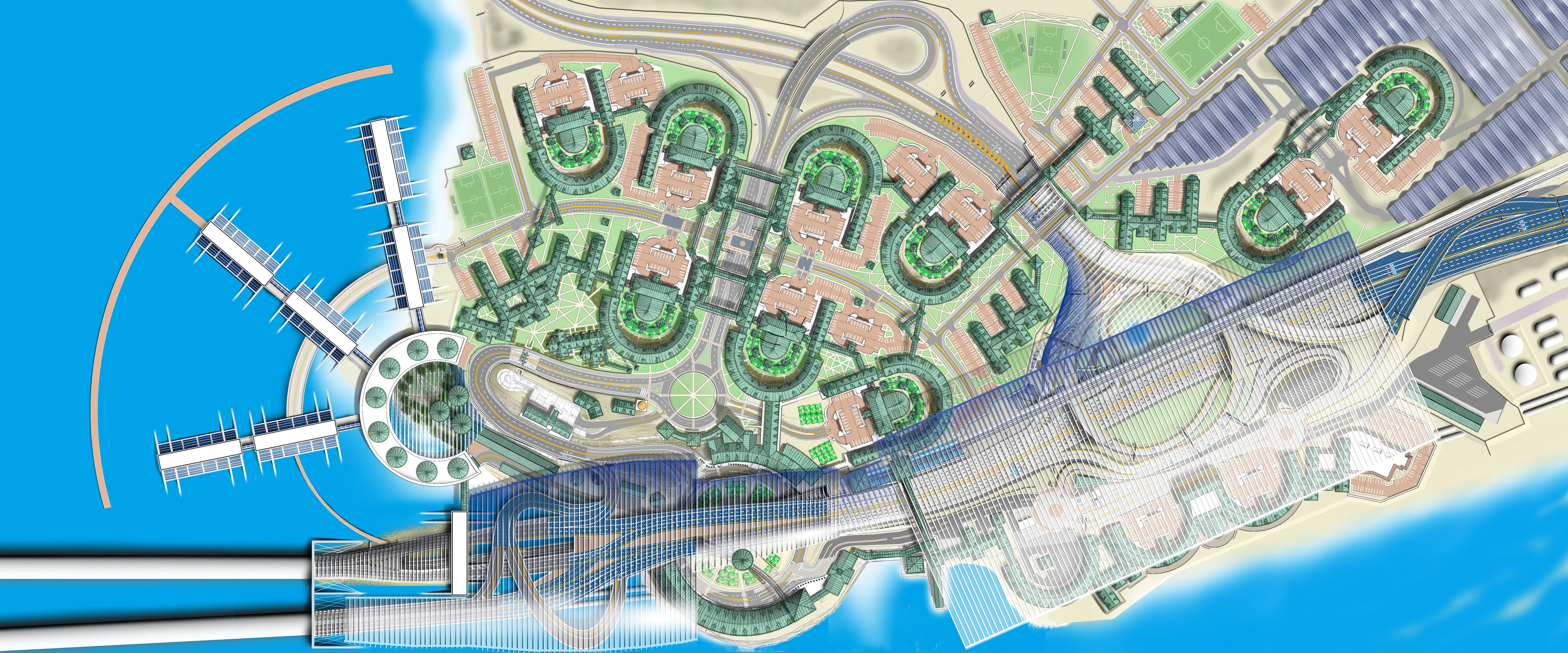
Big Diomede Biosphere Interchange in 2060. Enlarge [click to view full size]
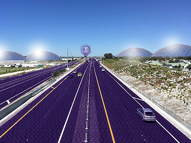
The Town of Salem as seen from Interstate A2 crossing Big Diomede.
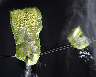
Big Diomede Biospheres as seen from above.
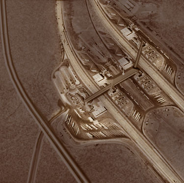
Big Diomede Service Plaza as seen from above.
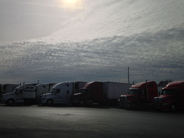
Trucks at Big Diomede Service Plaza.
Bering Strait Bridge Authority [click to read].
Copyright © 2015, The Kirchman Studio, all rights reserved


No comments:
Post a Comment